Search thousands of art pieces!

Get Email Newsletters
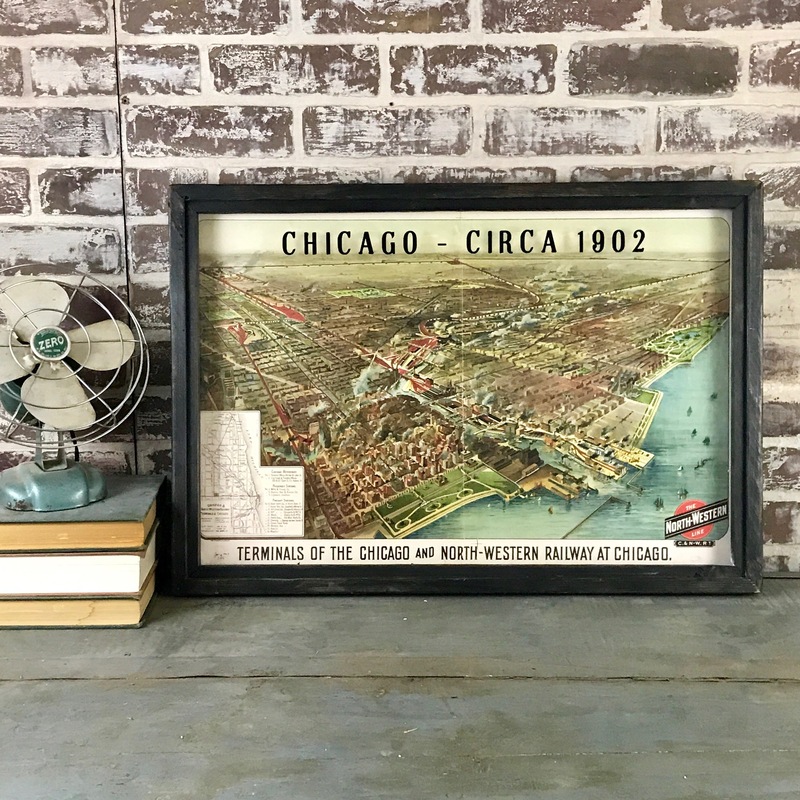
Chicago 1902 NW Rail Map
From the Amy Manning Gallery
From the Amy Manning Gallery
Category: Mixed Media & Collage
Title: Chicago 1902 NW Rail Map
Description: This newly printed 1902 map of Chicago shows the downtown area of the city, looking northwest from the lake. Navy Pier, Grant Park, and Lincoln Park are all visible. Bright colors and the reclaimed wood frame with ebony finish give a modern feel to this vintage era map. The title is applied to the glass for a shadowbox effect. The map hangs using 2 D-rings mounted to the upper back corners.
Theme: Maps
Color: Black, teal, red, green, ivory, yellow
Surface: Board
Medium: 3D Collage
Dimensions: 27 inches wide, 19 inches tall, 2 inches as its depth
Shipping: $18.00
Price: $165.00

